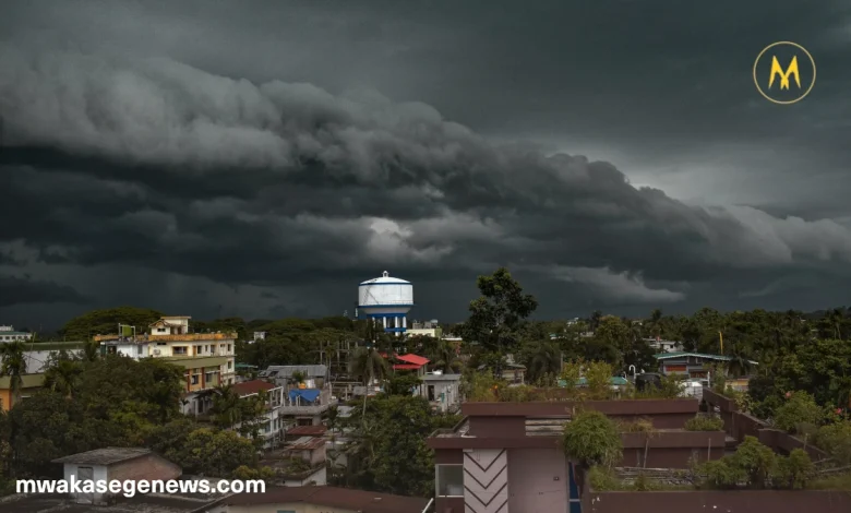
Philadelphia faces a powerful shift in weather this week. On Thursday, the National Weather Service has placed the entire region under a Severe Thunderstorm Watch. With temperatures rising and humidity building, dangerous evening storms will sweep across the area. Afterward, the city prepares for its first potential heatwave of the year.
Soaring Heat Sets the Stage
The day begins warm and only gets hotter. Temperatures are expected to push past 90°F, and high humidity will make conditions feel even worse. Heat index values could flirt with 100°F, creating a sticky, oppressive atmosphere. These sultry conditions will fuel the formation of dangerous late-day thunderstorms.
When Will the Storms Hit?
Weather experts expect the first round of storms to hit around 4 p.m. Thursday. The most intense weather will occur between 6 p.m. and 9 p.m., mainly along the I-95 corridor, affecting Philadelphia, parts of New Jersey, and Delaware.
What Makes This Storm System Dangerous?
These storms go beyond your typical summer thunderstorm. Gusts could reach up to 75 MPH, strong enough to damage trees, power lines, and lightweight structures.
Forecasters also warn of heavy downpours, frequent lightning, and a small chance of hail. A tornado, though unlikely, is not completely off the table. Rainfall will be intense enough to reduce visibility and may lead to brief street flooding.
Severe Thunderstorm Watch in Effect
The National Weather Service has issued a Severe Thunderstorm Watch for the entire Philadelphia region. It remains in effect until 9 p.m. Thursday, covering the hours of highest risk.
What You Should Do Now
Preparation is essential. Before storms arrive:
- Fully charge all mobile devices and power banks.
- Secure loose outdoor items such as chairs, umbrellas, and trash bins.
- Avoid unnecessary travel between 4 p.m. and 10 p.m.
- Have a flashlight and emergency kit within reach.
Follow trusted weather sources for updates, including NOAA, local apps, or TV stations.
After the Storms: A Heatwave Takes Over
By Friday morning, sunshine returns—and it brings more heat. Temperatures will remain in the 90s throughout the weekend. If highs continue for three consecutive days, Philadelphia will officially enter its first heatwave of the season.
How to Stay Safe During the Heatwave
Hot, sunny weather may sound ideal, but heatwaves are dangerous. To stay safe:
- Stay hydrated. Drink water regularly, even if you’re not thirsty.
- Avoid prolonged outdoor activities during peak afternoon hours.
- Wear light, breathable clothing and stay in shaded or air-conditioned areas.
- Check on vulnerable people like children, seniors, and pets.
Philadelphia’s weather this week demands extra caution. Thursday brings high heat and a serious storm threat, while the weekend promises intense heat. By preparing early and staying informed, you can protect yourself and others from weather-related risks. Whether it’s thunder, wind, or sun—take this forecast seriously.


One Comment